“Why do you call it the Back Forty?” asked my hiking buddy.
“Because it’s about forty acres and out back of the house…?” I suggested. But knowing Grandpa, it struck me that likely it was actually some relatively obscure reference, so I googled it.
back + forty, meaning “back side of a farm”. In the Homestead Acts (1860s–), farmers were granted a quarter section; a section was 640 acres, a quarter section was 160 acres, and the quarter section was itself subdivided into four quarter-quarter sections of 40 acres each: two front forty and two back forty.
1. (US) The remote part of a farm. “They couldn’t contact the farmer right away because he was out plowing the back forty”
Wiktionary
2. (US, idiomatic) The most remote or inaccessible part of any place.
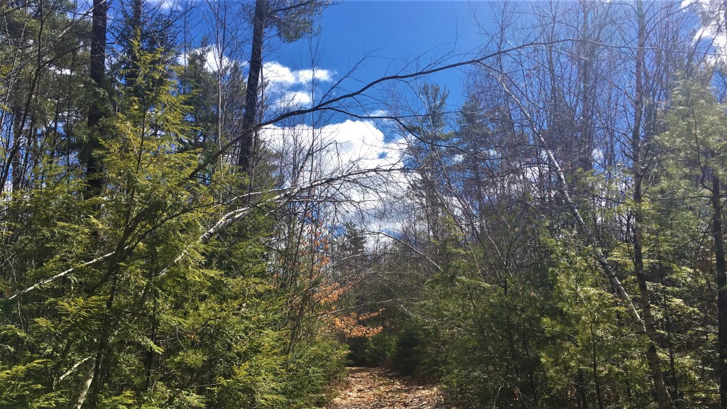
What I always refer to as Grandpa’s Back Forty isn’t actually his anymore; it belongs to the Loon Echo Land Trust. Nevertheless, we continue to have proprietary feelings about it. For today’s adventure, my hiking buddy and I decided on the remote and inaccessible Back Forty, without perhaps fully considering what the implications of all those words really were….
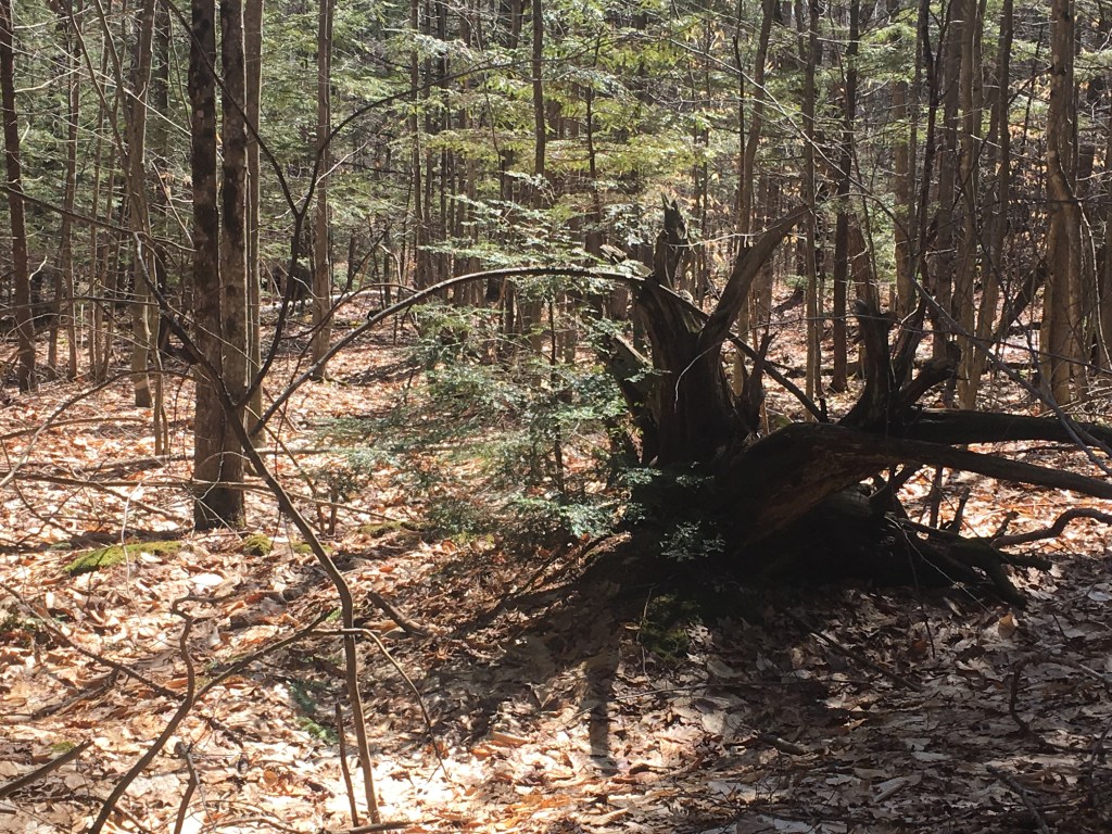
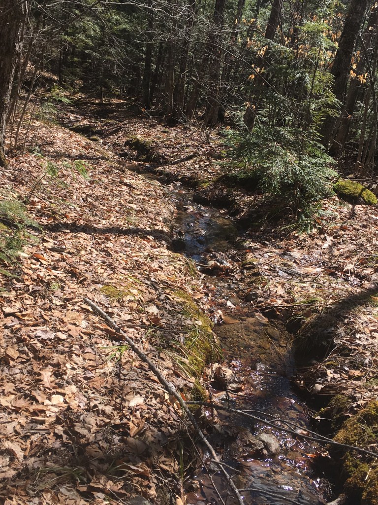
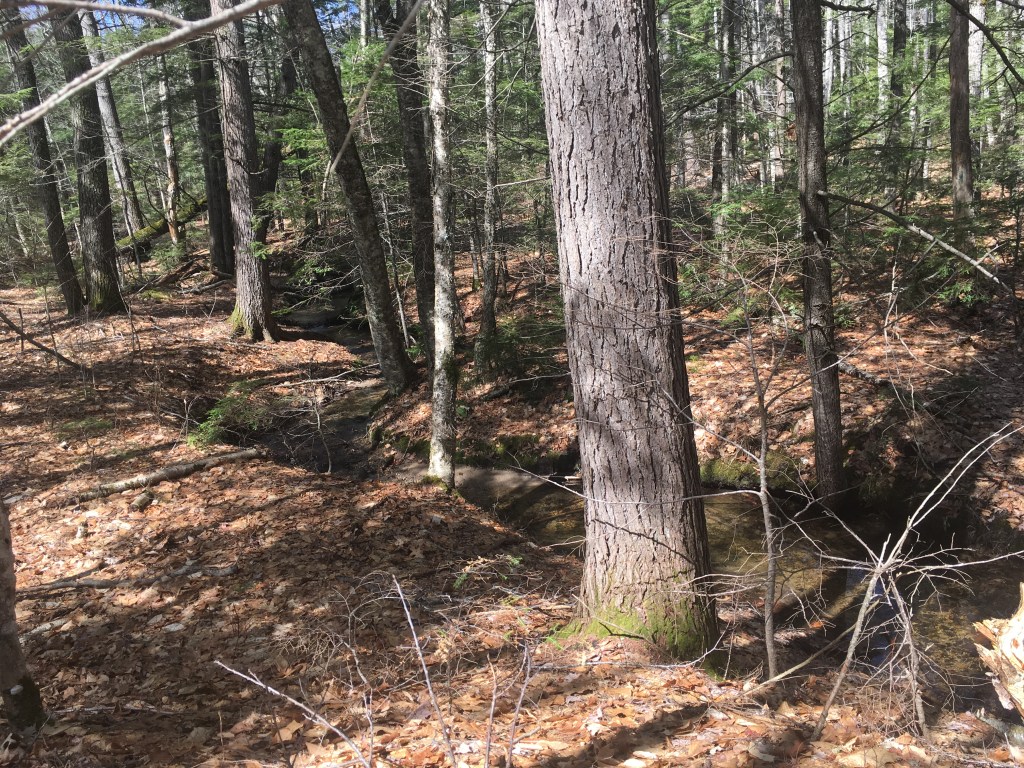
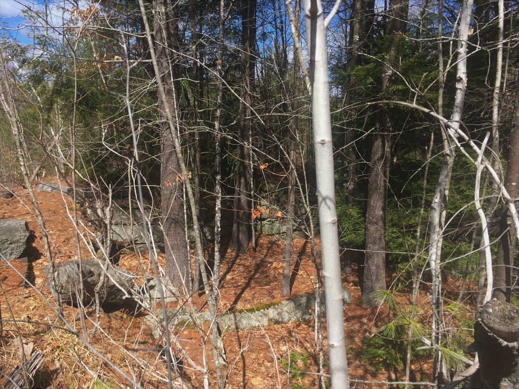
Maybe the marshiness of the first bits should have been a harbinger of things to come, but then it dried out quickly. My buddy was concerned that we might get lost coming back, but Mom had said to keep the stream to my left as we hiked out in the direction of Holt Pond, and just as we reached the edge of the embankment that dropped down to that stream, the path turned right and became quite clear.
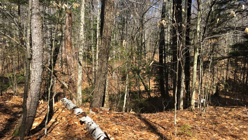
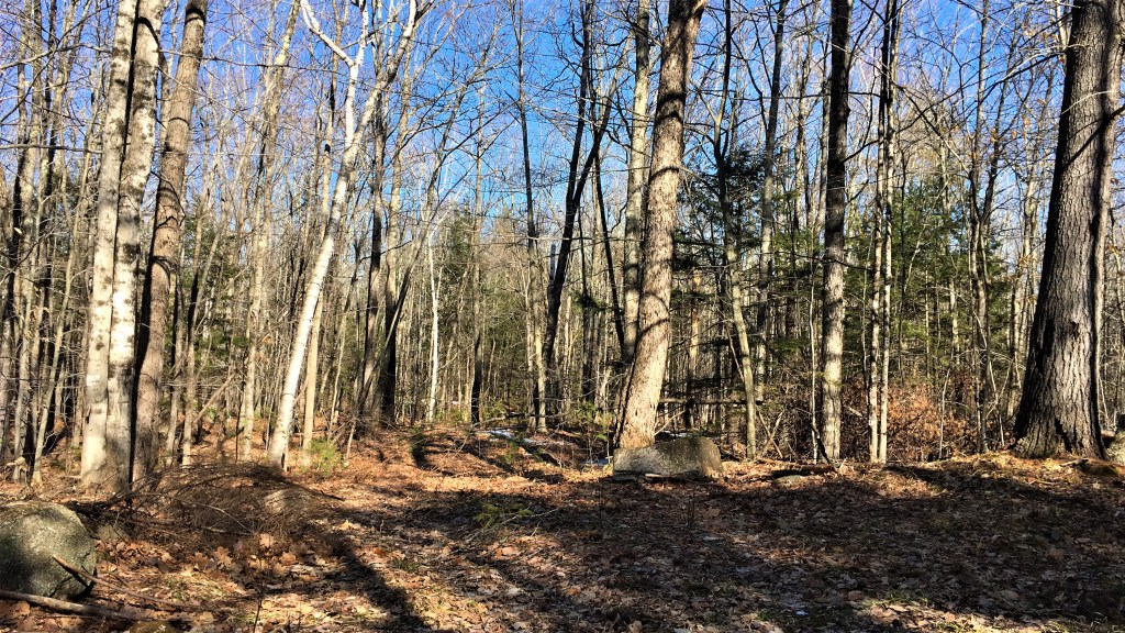
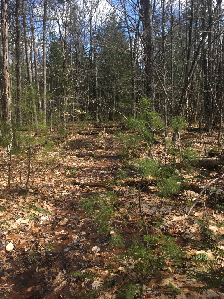
Years ago, this was a snowmobile trail. I’m not sure when it was abandoned as such, but I know it’s been at least half a dozen years since I last walked down this way with my parents, not long after they had moved in and I had returned from the Middle East. For the most part, though it is no longer formally marked, the trail remained quite easy to identify … though following it was more of a challenge in some places.
Here, for example, the trail proved the path of least resistance for this stream of winter runoff.
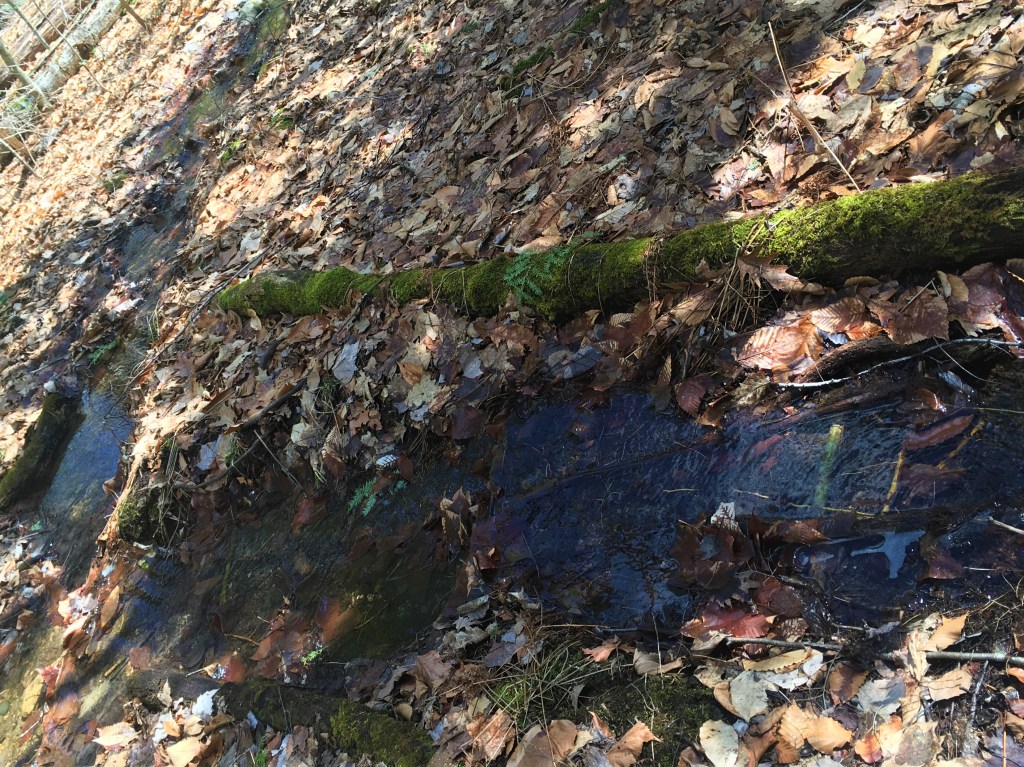
That didn’t last long, though, ending at this sagging, mossy bridge over the “Foster Pond ditch” that Dad had warned us not to confuse with the stream we were keeping on our left.
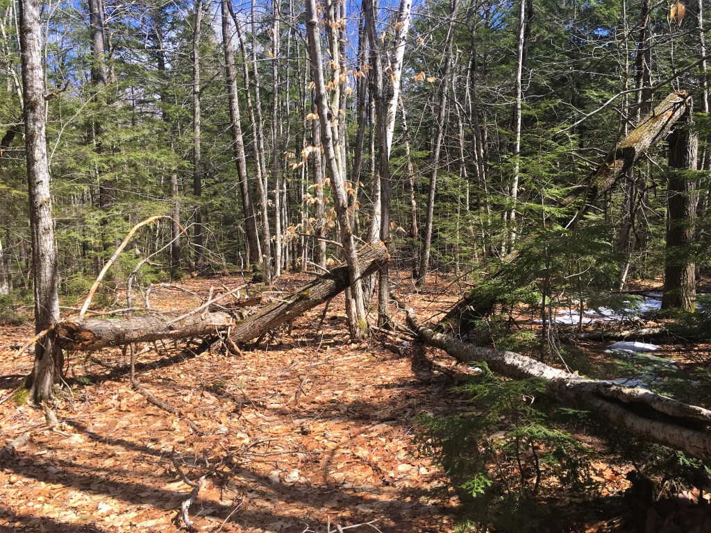
Some of these look deliberately cut, once upon a time. 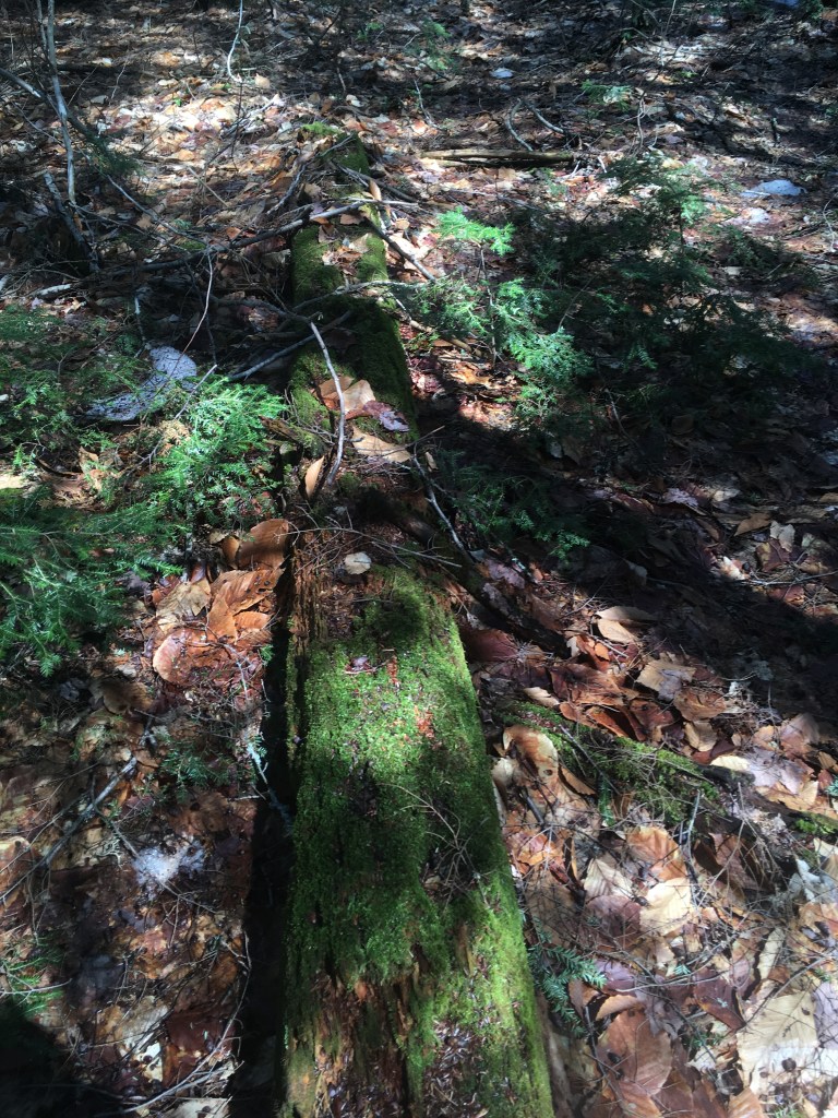
I love the texture of moss on a rotting log!
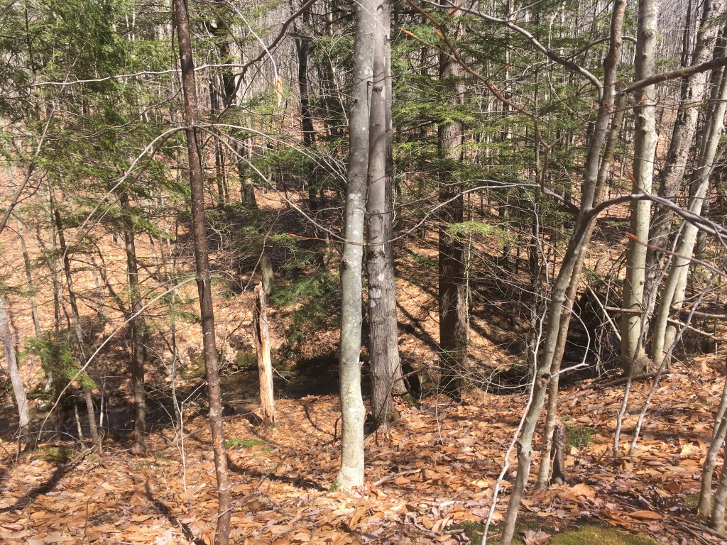
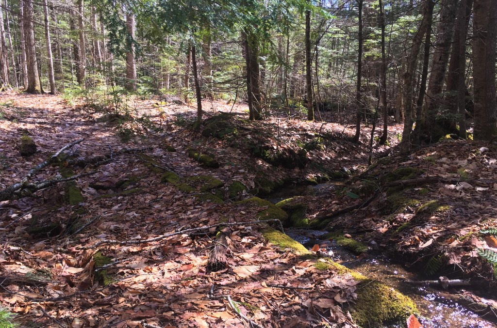
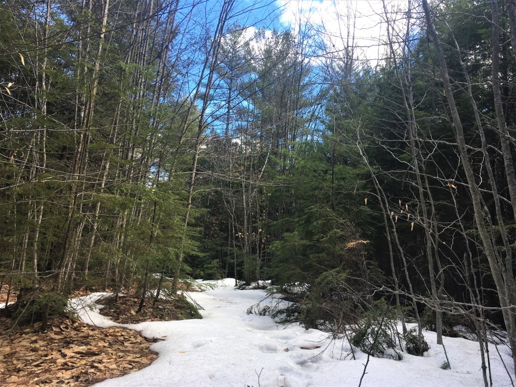
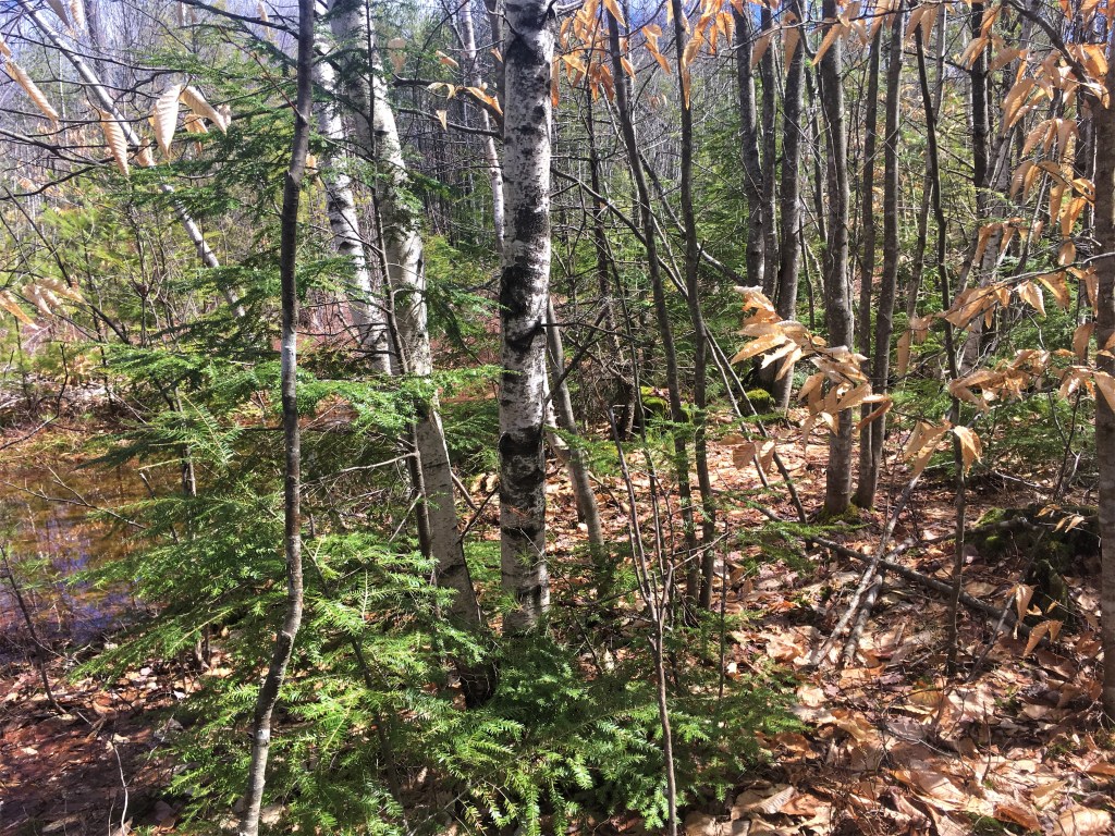
There were a few other places where snow and/or several inches of water covered the whole path; in the latter case, we found ourselves bushwhacking into the trees to one side or the other of the path for a bit.
Someone had passed this way before us — those are men’s boot prints in the snow. 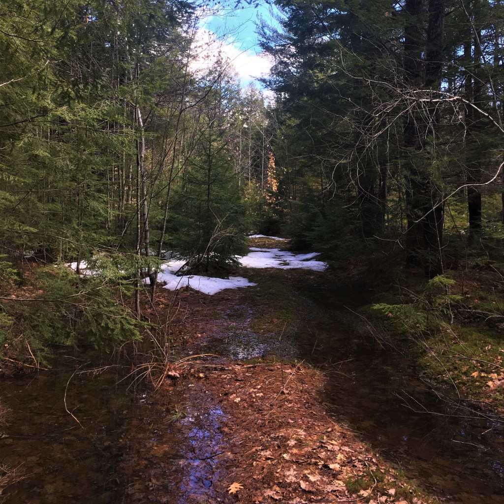
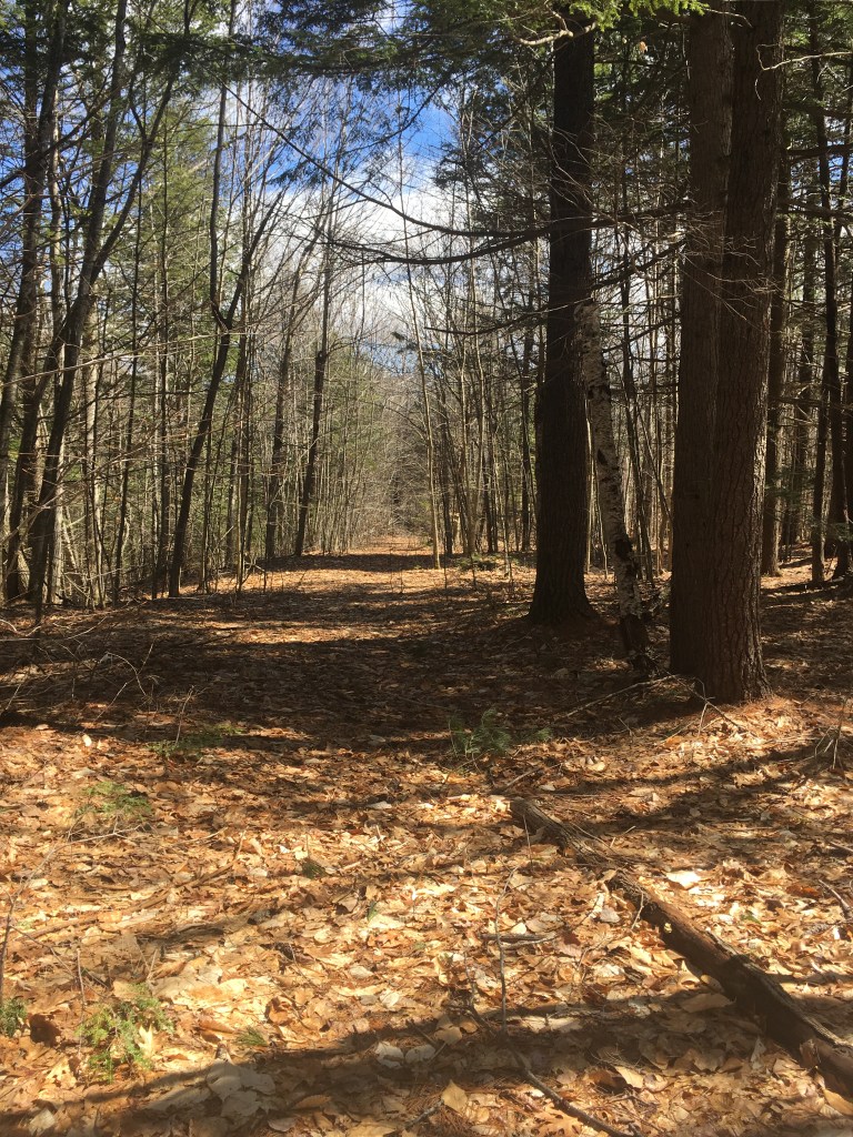
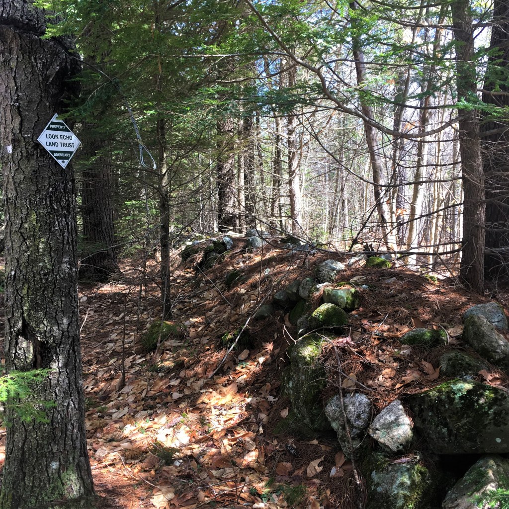
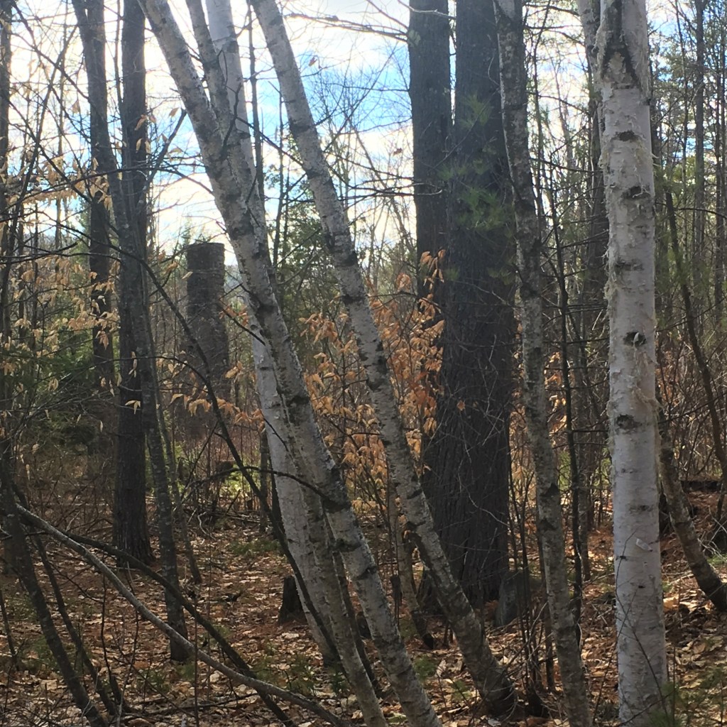
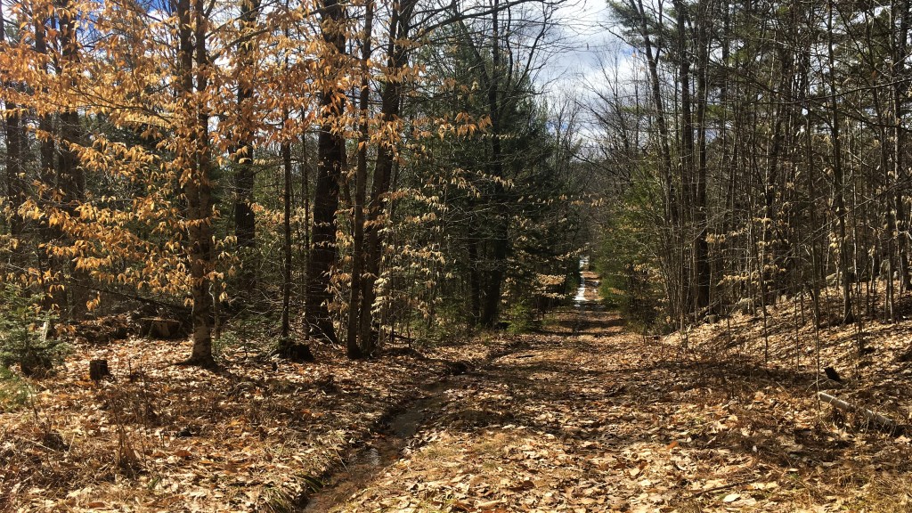
After this narrower, more evergreen section of the trail, we came to a rock wall that apparently marks the end of the Loon Echo Land Trust parcel, and the trail abruptly opened up to what seems to be a logging road, judging by evidence of cut stumps, plus how straight and uniformly young the trees are in distinct groves in this section.
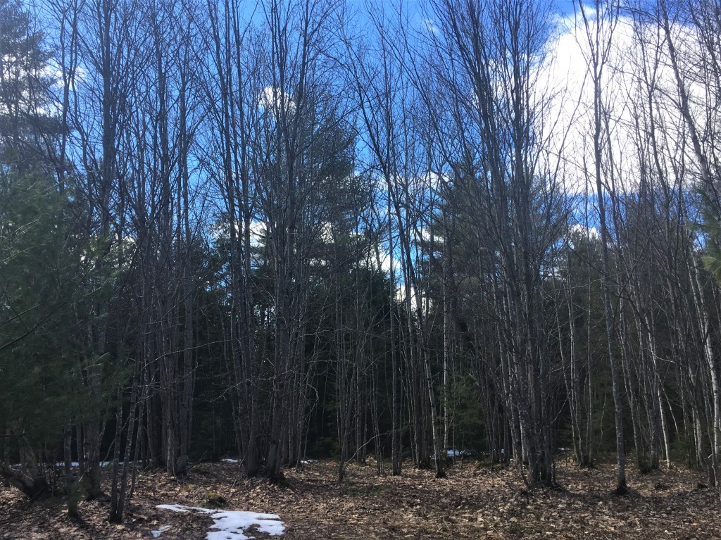
Heavy wet snow or ice bowed these birch trees into a canopy over the trail.
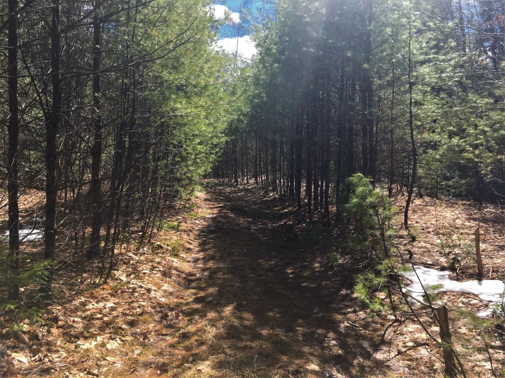
Of course, being on the logging road didn’t mean there weren’t still occasional places where we had to do some bushwhacking into the saplings on either side to avoid a wide lake of water….
That puddle on the left stretched across the whole road and more! 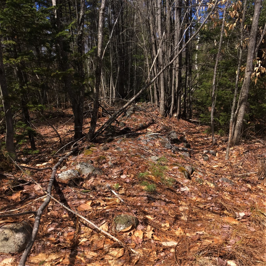
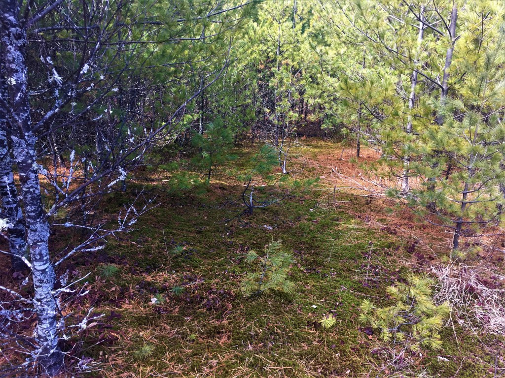
I love the aesthetic of moss under pine trees.
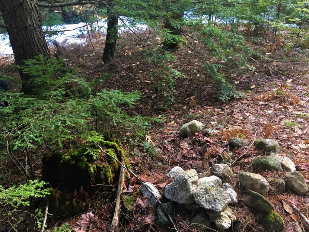
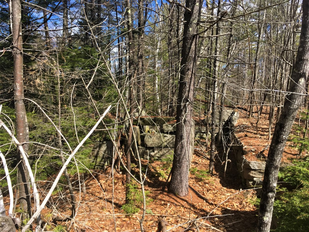
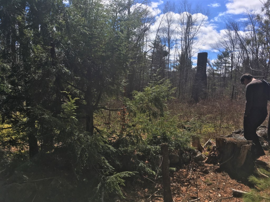
There’s a pretty massive set of granite foundations back in the woods, not far beyond where the Loon Echo land meets the logging road, hemmed in by little rock walls as if demarcating a dooryard. We wandered about a bit, wondering if perhaps it was a farmhouse complex or even the grain mill that is referenced in Gristmill Road where the logging road ends, but there’s not a lot left to tell the tale.
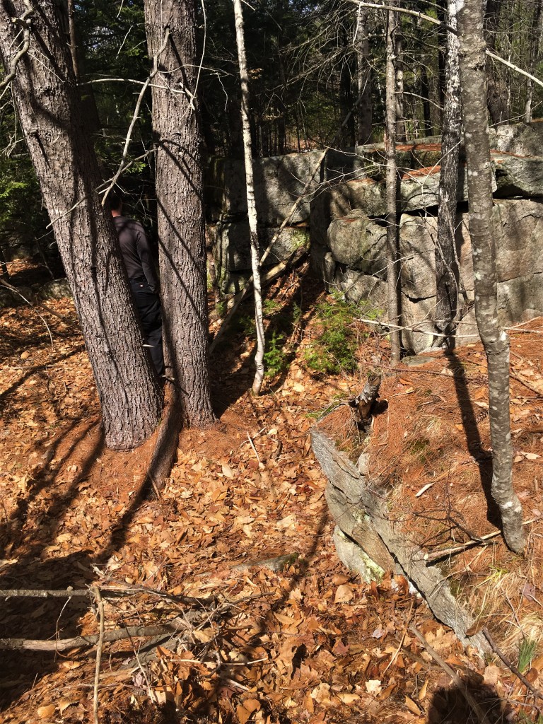
A little farther along, at first I thought I was seeing a very tall stump off in the trees. “That’s a huge tree!” I said, but as we came a little closer, we saw that it was in fact a massive free-standing chimney, its building long fallen away.
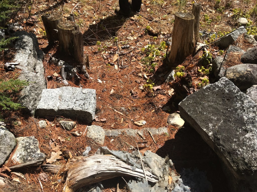
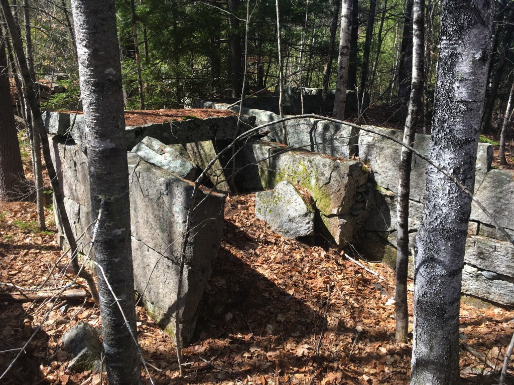
steps down into the dooryard 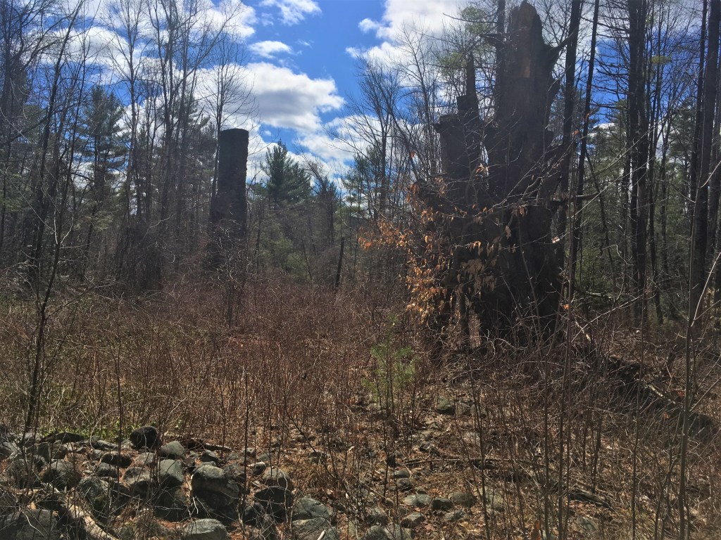
Here, again, the dooryard seemed to be enclosed by a low wall, this one with a set of three granite steps down through the wall into the dooryard. We wanted to get closer, but there was a massive thicket of brambles and honeysuckle stretched across the whole of the perfectly flat dooryard.
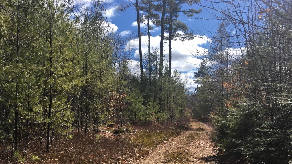
By this time, we had decided that we weren’t all that excited about tromping back through the woods and bushwhacking around the pools of runoff. We had also determined that we weren’t really up for going all the way down and around Holt Pond, either. A quick consultation with my AllTrails app showed another road cutting across the logging road we were on, cutting the corner up to Fosterville Road, which I know rather well.
It turned out to be a wide road, a boulevard almost, with vestigial rock walls on both sides, suggesting it has been here quite a long time. In retrospect, I wonder if it’s the same former main road that passes by the old Peabody/Fitch House at Narramissic.
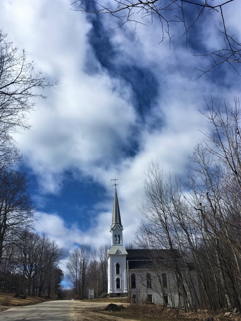
This road brought us up to Fosterville Road, leaving one more great treat for us on our walk home: the South Bridgton Congregational Church where my grandparents were members for many years, and my grandfather was heavily involved with the replacement of that classic New England steeple.
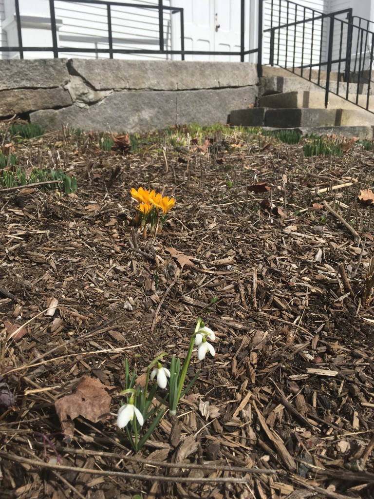
Beyond the dewdrops and crocus peeking out of the garden, you may recognize the distinctive marks of the feather and plug method of granite quarrying … perhaps even from the old Peabody/Fitch quarry…? One wonders.
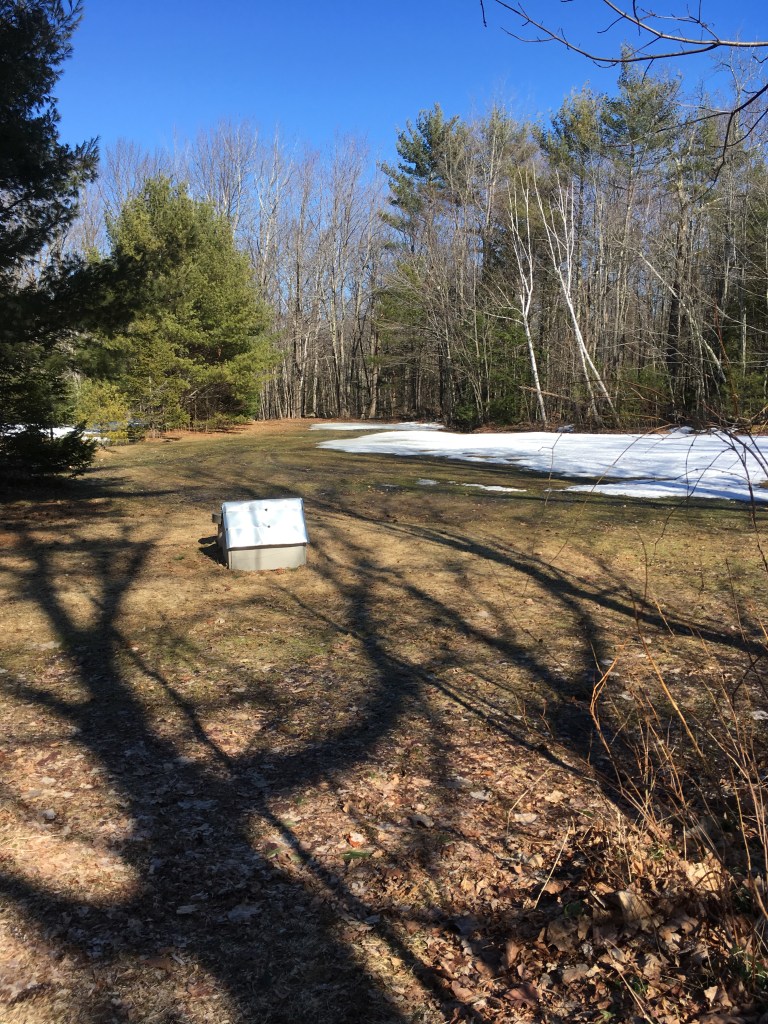
It was a perfect, bright, warm day for a tromp through the spring woods!

[…] parents and the Back Forty are effectively at the foot of Bald Pate Mountain, but I was struck by how dramatically different […]
LikeLike
[…] we started talking about the differences in the landscape here in New Jersey versus the woods of Maine. As we circled the summit of the first small rise — apparently these rolling hills are the […]
LikeLike